

 to add an item to your Itinerary basket.

Archaeologists are excavating the route of a new culvert (basically a large concrete pipe) being installed to slightly reroute the river Twyver away from the site of the new buildings.
Archaeologists have investigated the site previously and expect in the northern part of the site to come across the remains of the medieval Whitefriars Carmelite friary.
At the moment archaeologist are working in the southern part of the site - where no medieval remains are expected. They were rather surprised then when, early on, they came across the remains of a large stone wall. This caused a degree of confusion – with the archaeologists concerned that they had found the friary remains much further south than expected and at a higher level.
The perplexed archaeologists quickly reviewed some of the historic maps of this area and have found that the walls are part of Gloucester’s old cheese market and are nothing to do with Whitefriars.
The Cheese Market was apparently built in the mid-1850s adjacent to the cattle market that covered much of the area – both were built in response to the development of the railway – Gloucester’s main station is of course just across Bruton Way.
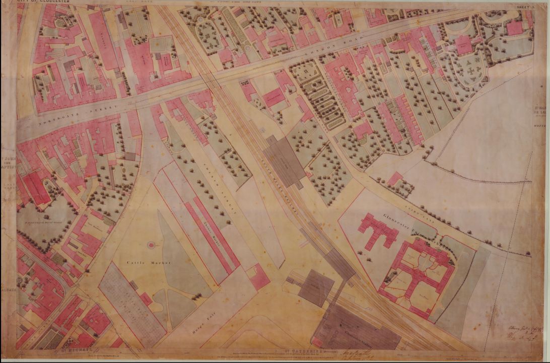
This map from 1852 shows the Cheese Market and the adjacent Cattle Market.
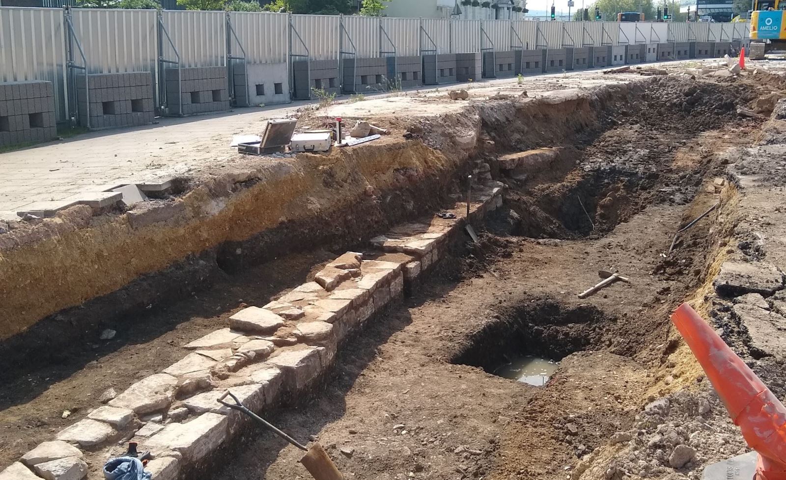
The photograph shows the wall as found by the archaeologists. The Cheese Market appears to have gone out of use by the 1880s although the cattle market itself lasted until the 1950s – replaced by a new site in St Oswald’s.
Related
Comments
Comments are disabled for this post.
